
- Home
- About Us
- Programmes
- Success Stories
-
News & Reports
- Gallery
- Contact Us
Participatory Joint Village Land Use Planning (PJVLUP) is a collaborative approach that integrates the perspectives of multiple villages sharing a common geographical area and its natural resources.
This approach enables more effective utilisation and management of resources, ensuring alignment and cooperation across administrative boundaries. It is recognised under the Land Use Planning Act Section 33(1)(b) because natural resources — grazing areas, forests, irrigation schemes, water sources, and wildlife corridors — routinely span across village and district boundaries.
To foster resilience in food systems, mitigate land-use conflicts, conserve ecosystems, and promote sustainable resource management, Participatory Joint Village Land Use Planning becomes essential.
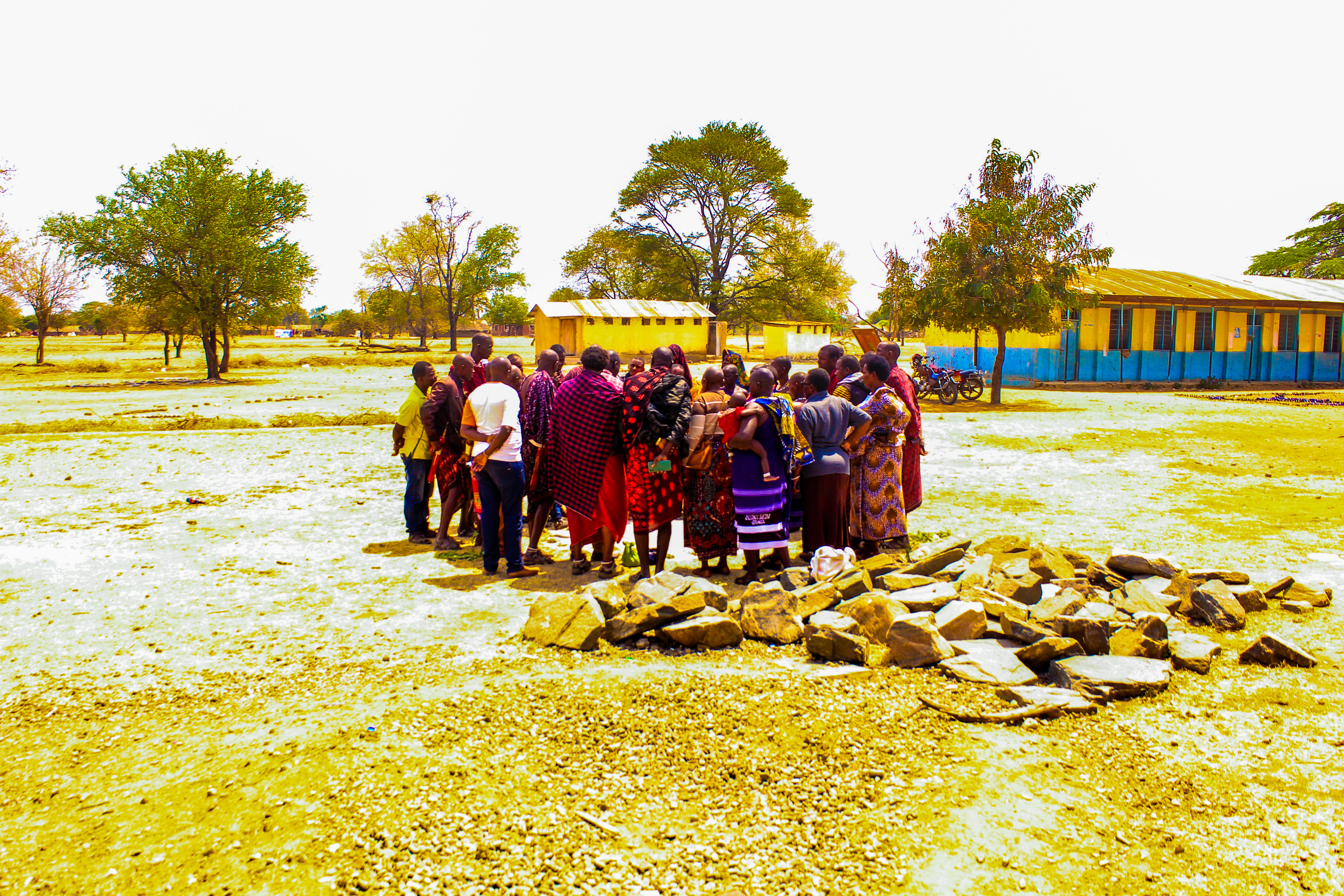
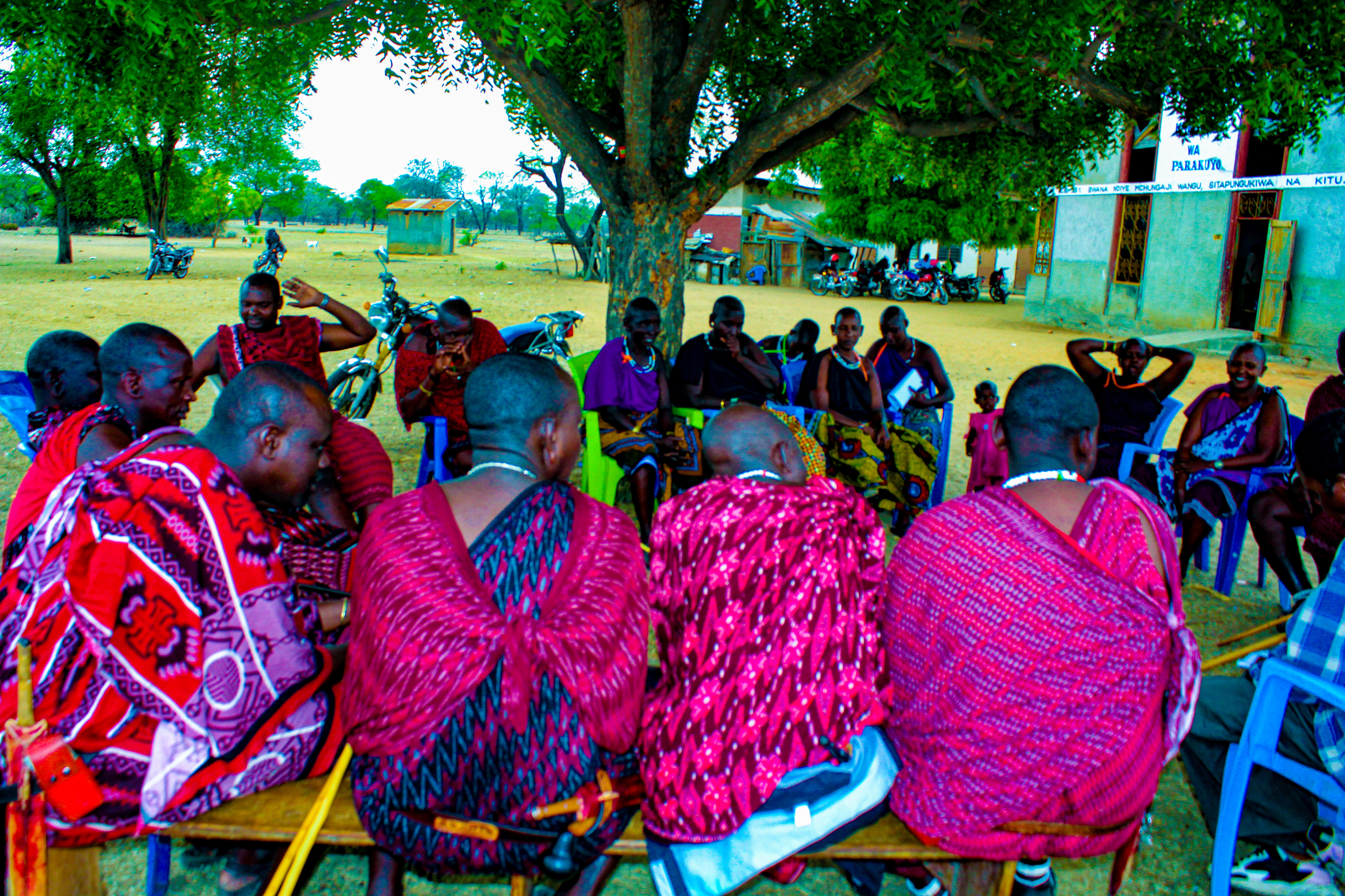
KINNAPA Development Programme, with support from the CGIAR Research Initiative on Livestock and Climate led by the International Livestock Research Institute (ILRI), implemented the Livestock Climate and Systems Resilience Initiative Project — securing and protecting shared grazing areas spanning multiple village boundaries through JVLUP in Kilosa District Council, Morogoro Region.
Local communities from three villages came together to form the TWAPANGA Cluster — jointly allocating grazing lands, water sources, livestock routes, and forest reserves to promote peaceful coexistence, enhance the sustainability of livestock production, and build resilience against climate change and natural hazards.
Agreed boundaries and rules reduce tensions between farmers, pastoralists, and neighbouring villages over shared land and water.
Jointly managed grazing areas, forests, and water points are used more sustainably across administrative boundaries.
Protecting livestock corridors and rangeland helps communities adapt to drought, floods, and shifting rainfall patterns.
The JVLUA gives communities a formal, legally recognised contract that protects their collective land rights long-term.
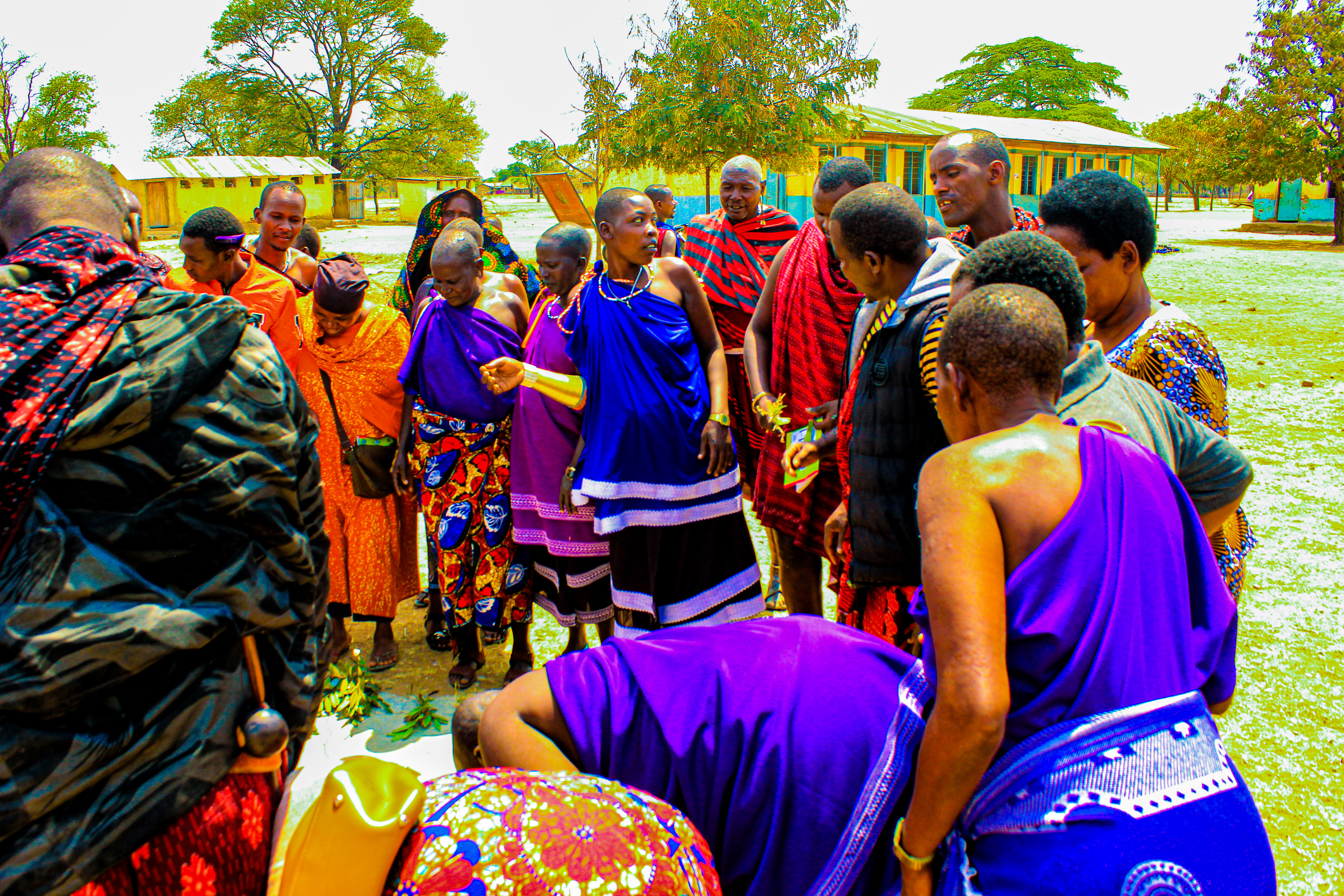
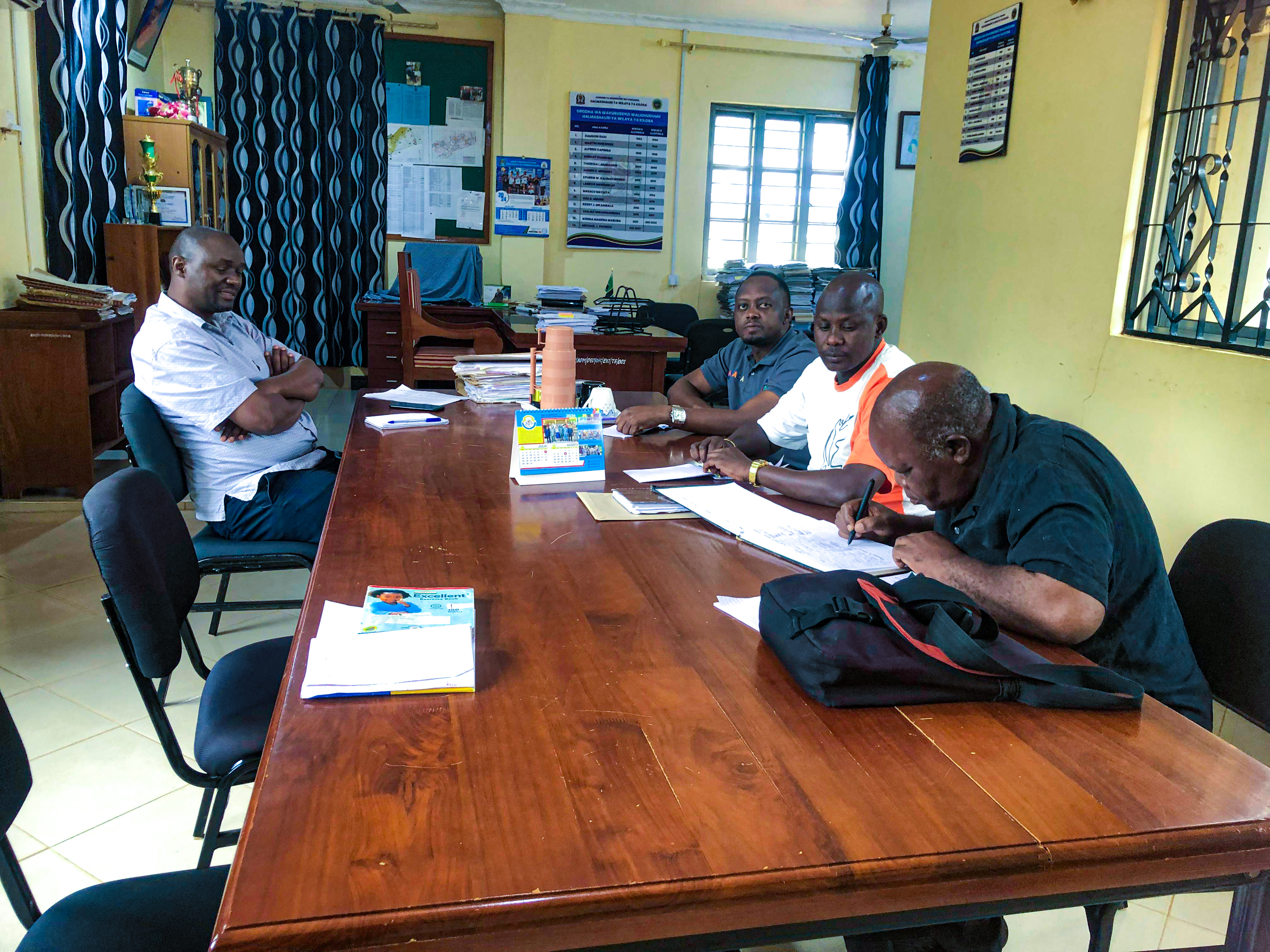
The PLUM team in Kilosa District Council was formed and trained. Villages sharing resources were identified, clustered, and visited for reconnaissance survey and sensitisation — including Twatwatwa, Parakuyo, and Ngaite. A Council Management Team Meeting was held for training and agreeing on the planning approach.
Joint Village Council meetings, Individual Village Council and Village Assembly meetings were held. Joint VLUMC training ensured all three village communities were aware, willing, and committed to implementing PJVLUP.
Through Participatory Resource Mapping, GIS Mapping, Biophysical Surveys, SWOT Analysis, and Community Action Plans, communities identified challenges and produced Village Land Use Plan proposals to address conflicts and resource pressures.
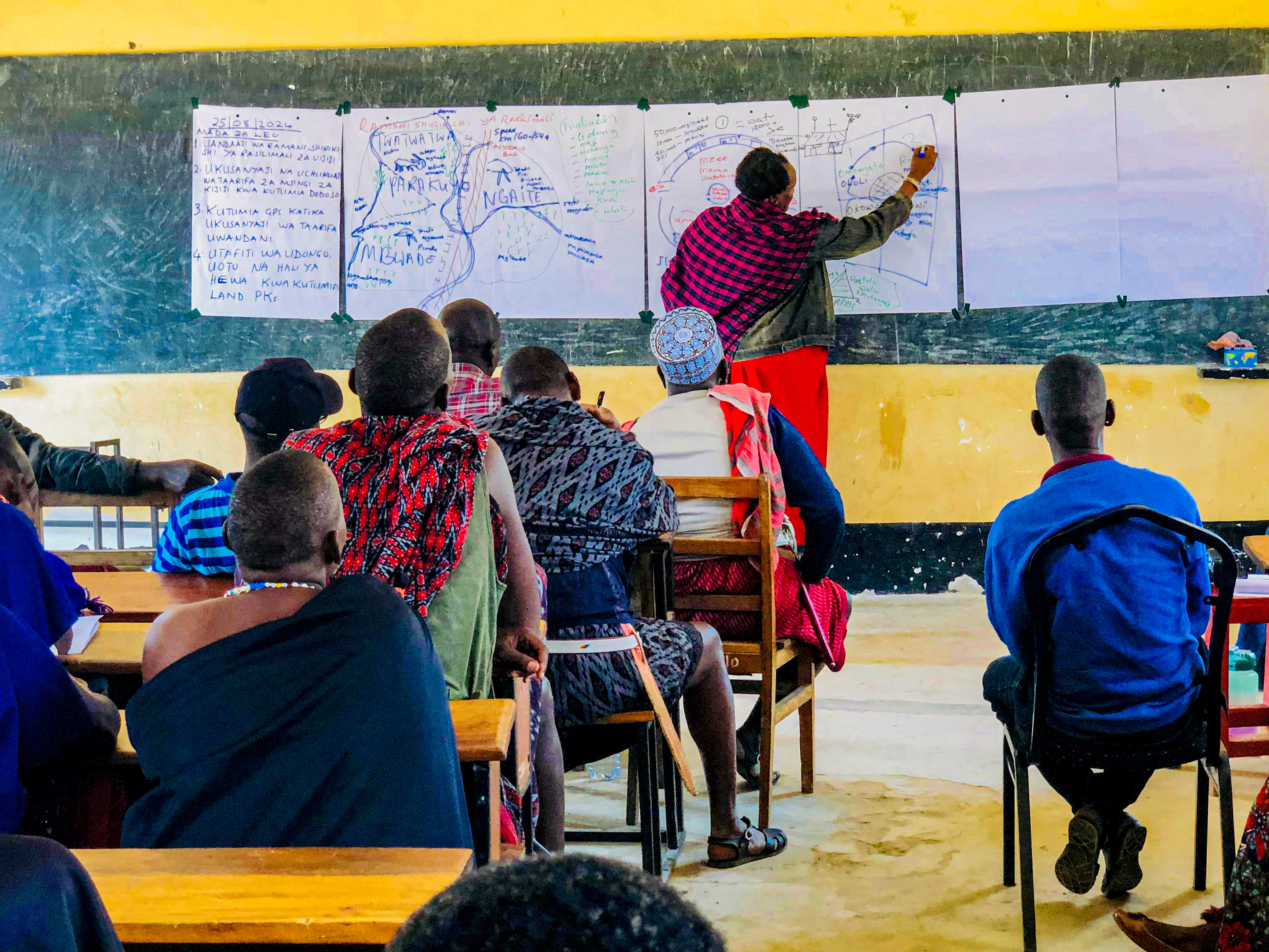
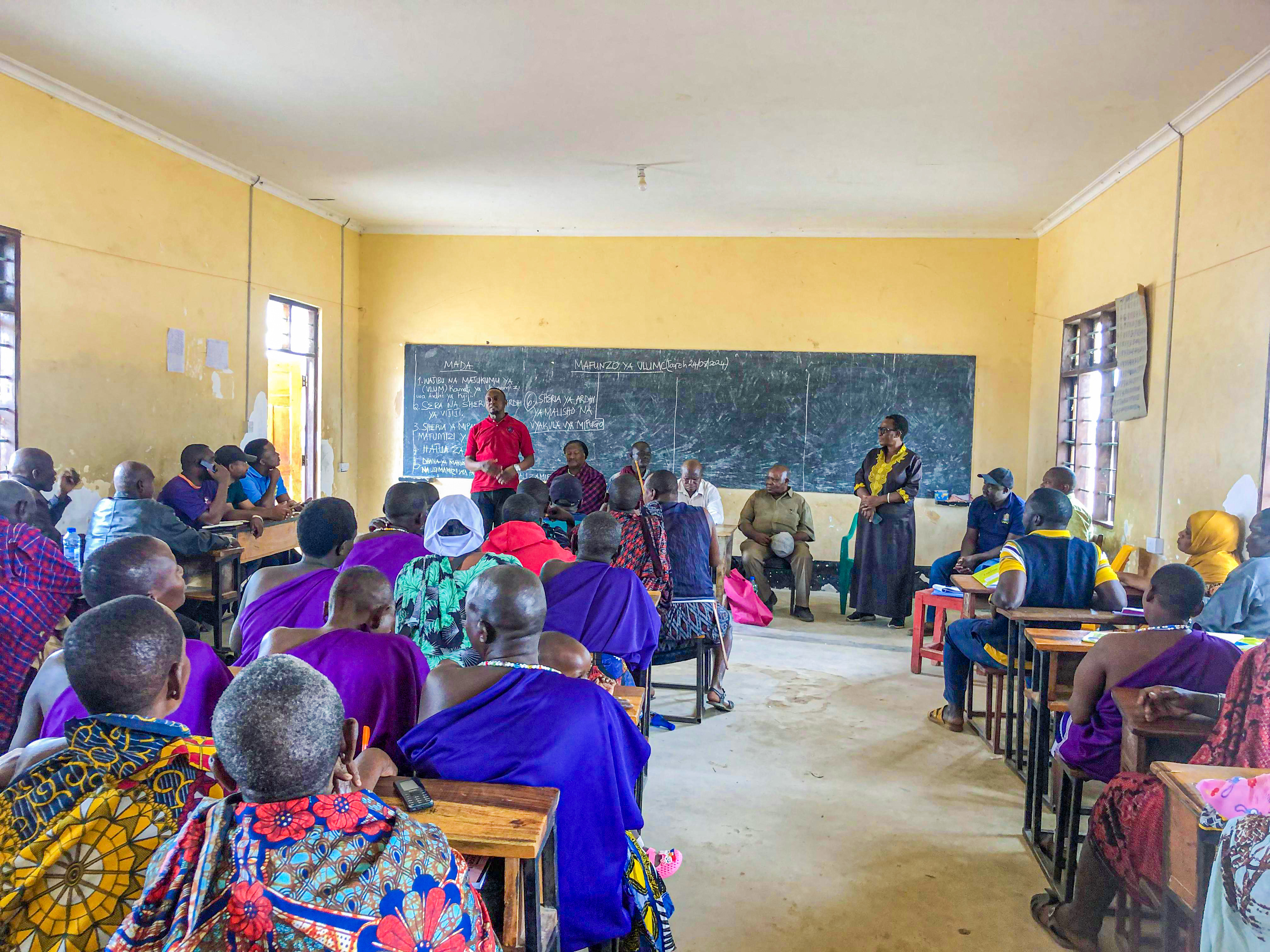
VLUM and Village Council representative meetings proposed VLUPs and a Joint Village Land Use Agreement (JVLUA) — a binding contract on the use and management of shared land-based resources. Plans were harmonised, approved at all levels, and formally signed at a Joint Village Councils cluster meeting.
Agreed land use zones are demarcated on the ground, and land use management committees are activated to oversee compliance and adaptive management of shared resources across the cluster.
Ongoing monitoring by community-led VLUMCs and district authorities ensures the JVLUA remains a living document — updated as resource conditions and community needs evolve over time.
"Joint Village Land Use Planning is not just a technical exercise — it is a peace-building instrument that puts communities at the centre of decisions about the land they depend on."— KINNAPA Development Programme · PJVLUP, Kilosa 2024
KINNAPA is committed to scaling this model across more districts and clusters in Tanzania — ensuring that communities who share land also share in the decisions that govern it. The TWAPANGA Cluster is proof that collaboration, when properly supported, builds lasting peace and resilience.
PJVLUP · Kilosa, Morogoro · 2024